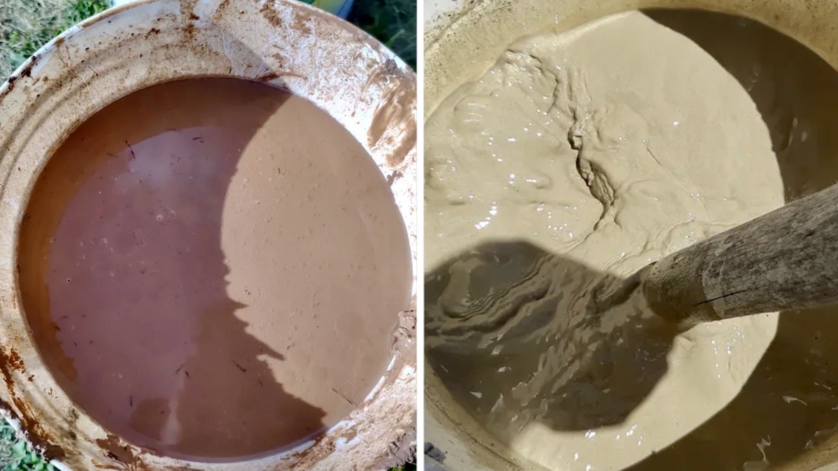
Straining red varved clay through t-shirts in northwestern Ontario
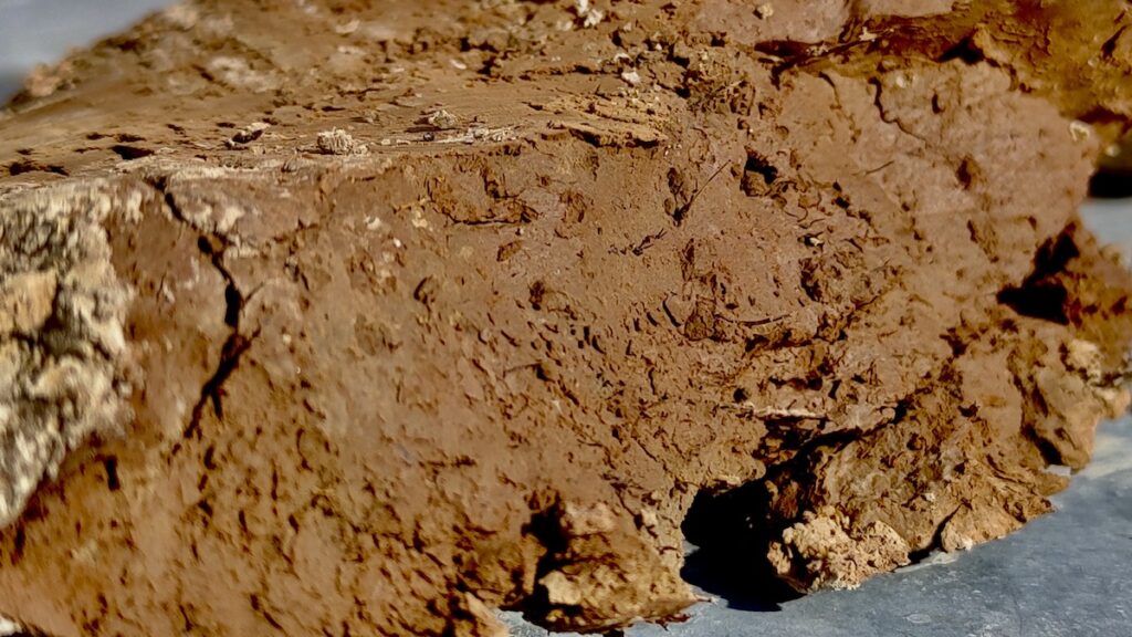
This summer, we’re working with Art Borups Corners to explore the potential of local wild clays. It’s been a lot of fun so far! We have two clay samples from here Melgund township, about a kilometer apart. One is grey and homogeneous. The other is red and varved — layered like the pages of a book, each band recording a season of sediment settling through still water in glacial Lake Agassiz roughly 12,000 years ago.
We know this because of a 1960 Ontario Department of Mines report by J. Satterly, who mapped the geology of the Dyment area and took careful notes about the dirt. Satterly wasn’t thinking about pottery. He was cataloguing bedrock, gold showings, and the Pleistocene deposits that blanket the Precambrian terrain. But his descriptions of “varved clay” with “red-coloured ‘winter’ layers” gave us a place to start looking — and a way to understand what we’d found once we got our hands in it.
What we’ve done so far
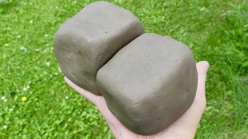
The grey clay came first. We slaked it, strained it through a window screen, then a paint strainer, then a t-shirt. We wedged it into blocks. We made beads, small bowls, tiles, and some experimental sculptural pieces. Everything is still unfired. The clay is workable, holds detail, and has enough green strength to survive handling. Some pieces show fine surface cracking as they dry — we’re watching to see how extensive it becomes.
The red varved clay is brand new to us. We’re just starting to process it this week: same slaking and straining pipeline, same patience required. We don’t yet know how it will wedge, how it will throw, or whether the red color will hold through drying and firing. That’s the experiment.
What the geology tells us — and what it doesn’t
Satterly’s report describes the bedrock that the glaciers eroded to produce these clays: basalt and rhyolite flows, diorite and granodiorite intrusives, diabase dikes. The source terrain was rich in ferromagnesian minerals — hornblende, biotite, augite — which weather into clay minerals. The feldspars weather into illite and smectite. The glacial grinding produced quartz and feldspar silt. The iron in the mafic minerals concentrated in the slow-settling winter layers, giving the red varves their color.
What this means for pottery is still an open question. The iron content suggests the clay may flux at lower temperatures than a pure kaolin, possibly producing darker fired colors. The mixed mineralogy — illite, smectite, possible vermiculite or chlorite from the ferromagnesian weathering — might mean unpredictable shrinkage and plasticity. The natural silt content may act as built-in temper, or it may cause problems we haven’t encountered yet.
But right now, we’re not sure! We won’t know until we fire. And we haven’t fired anything yet.
Why this matters to us
There’s something compelling about working with material dug from the ground you’re standing on. The commercial clays we could order online are consistent, predictable, and engineered for performance. They’re also anonymous — interchangeable bags from who-knows-where. This clay carries a specific history: volcanic eruptions, granite intrusions, glacial scraping, lake settling, millennia of weathering. Satterly mapped it. We’re testing whether it can hold a shape, survive a kiln, and become something useful or beautiful.
Or whether it will crack, slump, or explode. All outcomes are informative.
What’s next
More straining. More wedging. More test pieces. Small flat tiles first — the standard approach for wild clay testing, since they dry evenly and show fired color without the complications of thrown forms. Then we’ll see about a bisque firing. Right now, we can’t pit fire because of the fire restrictions. But we’ll get there.
We’ll report back when we know more. Right now, we’re just excited to have two very different clays from the same landscape, and a geology report that helps us understand what we’re looking at.