
Understanding What Lies Beneath the Revell Site
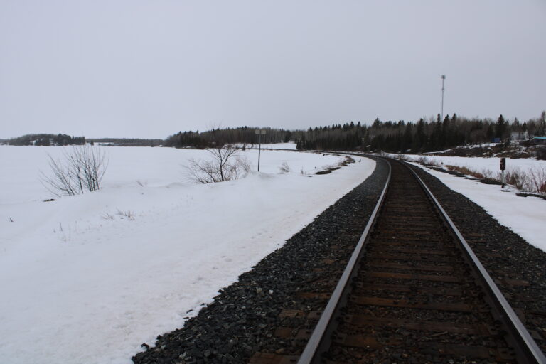
Living here in Northwestern Ontario, we all know that the Canadian Shield is tough. It defines our landscape from Dyment to Borups Corners. However, when it comes to the proposed Revell Site for a Deep Geological Repository (DGR), "tough" isn’t enough—the rock needs to be predictable. The Nuclear Waste Management Organization (NWMO) has released documents outlining their planned geological work, and for those of us in Melgund Township, understanding the stability of the ground beneath our feet is the first step in understanding the safety of this project.
What We Are Learning
The NWMO has been studying the geology of our area, but their latest report admits they don’t have the full picture yet. They have identified a need for more data to support their initial licence application. Specifically, they are planning to drill up to 20 more boreholes (10 deep and 10 shorter ones) and conduct 3D seismic surveys. Their goal is to better understand "fracture zones"—essentially cracks in the deep rock where water could flow—and to gather more information on soil and surface conditions.
The Reality Check
What is being promised: The proponent suggests that the current data is sufficient to start the licensing process, and that "enhanced confidence" will come from future studies conducted after or during the application phase.
What we need to verify: The technical assessment reveals a significant ambiguity. There is uncertainty regarding "gently inclined" fracture zones deep underground. If these cracks are more extensive than currently thought, they could act as pathways for water (and potentially waste) to move through the rock. Furthermore, there are remaining questions about "post-glacial faulting"—shifts in the earth caused by the ground rebounding after the last Ice Age. We need to verify if the Impact Assessment is being submitted with incomplete data on these critical safety risks.
The Path Forward
The Gap: The report notes that detailed information on fracture geometries and potential recent fault activity is being deferred to "future licensing phases." This means the initial safety case might rely on assumptions rather than hard data regarding how water moves through the Revell batholith.
The Solution: We are calling for the NWMO to provide a detailed matrix that links every data gap to a specific safety function before the initial license application is approved. We need to see preliminary risk thresholds for these water-conducting fractures now, not later. Additionally, results from microseismic monitoring regarding fault lines must be released in plain language immediately so our community can understand the true stability of the site.
Why It Matters Here
For residents in Melgund Township and surrounding areas, this isn’t just about abstract geology. If the rock fractures connect to the surface in ways we don’t understand, it impacts our local hydrology—the water that feeds our wells, lakes, and fishing spots. Furthermore, the plan for 20 additional boreholes means more heavy equipment, noise, and traffic in the bush, affecting the silence and safety we value for hunting and recreation. We need assurance that the "low seismic hazard" label is based on solid evidence, not just a lack of data.
Have Your Say
This affects our future. Submit your feedback on this specific issue via our Engage page to ensure the Impact Assessment Agency hears from our community.
The Melgund Integrated Nuclear Impact Assessment Project
The Impact Assessment Agency of Canada (IAAC) is reviewing the Nuclear Waste Management Organization’s (NWMO) proposed Deep Geological Repository (DGR) at the Revell Site, located near Ignace and Wabigoon Lake Ojibway Nation in Northwestern Ontario.
This major nuclear infrastructure project is undergoing a joint federal review by the IAAC and the Canadian Nuclear Safety Commission (CNSC) to evaluate environmental, health, social, and Indigenous rights impacts over its projected 160-year lifecycle.
Public Feedback Open: Comments on the Initial Project Description are accepted until February 4, 2026. Submissions help shape the formal impact assessment guidelines.
This short article and summary is based on an initial analysis of a proponent’s initial project description. It does not represent, any community the NWMO or the Government of Canada. Learn more at the Melgund Integrated Nuclear Impact Assessment Project project page.