Understanding the Ground Beneath Our Feet
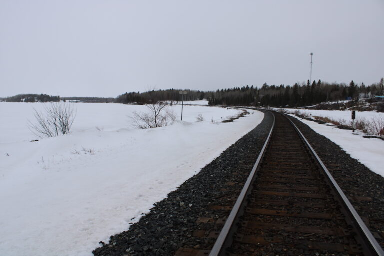
For those of us living in Melgund Township, Borups Corners, and Dyment, the rugged terrain of the Canadian Shield isn’t just scenery—it is the foundation of our homes and livelihoods. As we continue to review the Impact Assessment documents for the proposed Revell Site Deep Geological Repository (DGR), we are turning our attention to the very earth itself: the topography, soil, and river sediments.
The Nuclear Waste Management Organization (NWMO) has released their initial findings on what the land looks like chemically and physically before any construction begins. This baseline is critical because if we don’t know exactly what is in the ground now, we won’t be able to prove if the project causes contamination later.
What We Are Learning
The NWMO’s report confirms what most of us see out our windows: the area is dominated by the Canadian Shield, with water flowing generally toward the Mennin and Revell rivers. They note that about 70% of the site is exposed bedrock or has very thin soil cover.
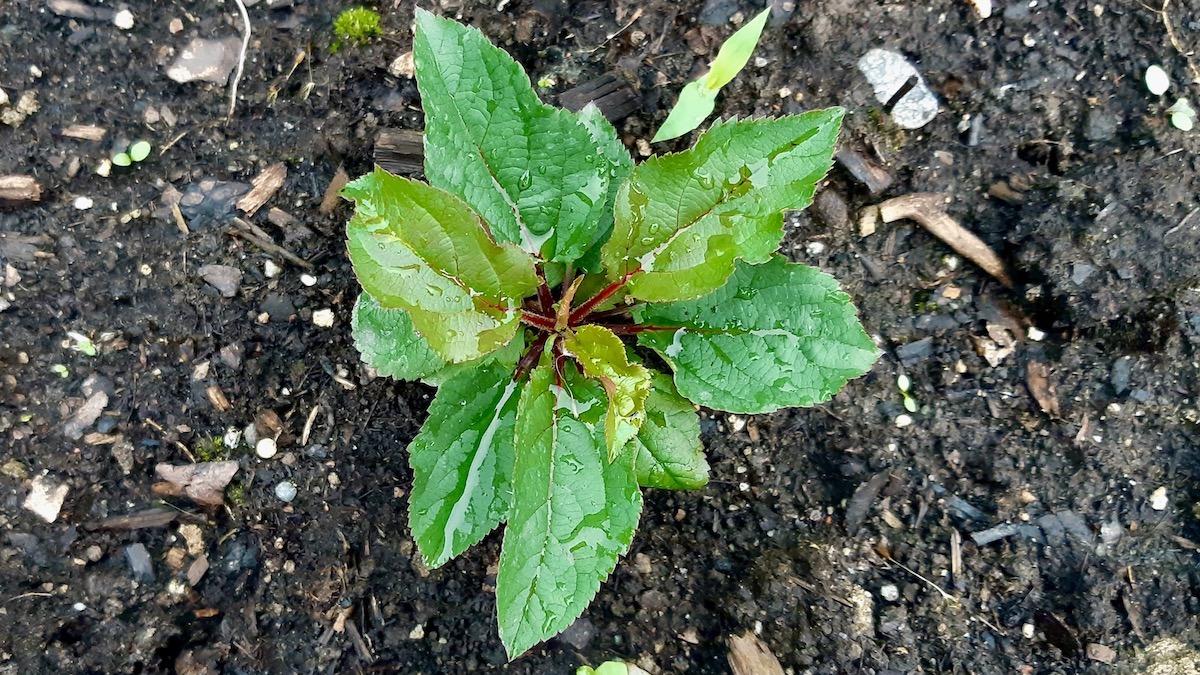
Initial testing shows that our soil is naturally acidic and contains elevated levels of certain metals like aluminum and iron—common features of Northwestern Ontario geology. They also took sediment samples from 23 spots in local watercourses to check for existing pollutants.
The Reality Check
While the description of the landscape feels accurate, a closer look at the technical data reveals some concerns about how the measurements were taken.
What is being promised: The proponent claims they have a sufficient understanding of the sediment quality to move forward with the licensing process.
What we need to verify: The report admits that for some sediment tests, the laboratory equipment used wasn’t sensitive enough. Specifically, the “detection limits” (the smallest amount of a chemical the lab can find) were actually higher than the safety guidelines. This means there could be contaminants present that exceed safety standards, but the test simply couldn’t see them. You can’t claim a clean bill of health if the thermometer is broken.
The Path Forward
To ensure our community is protected, we need to close the gap between the current data and the rigorous standards required for a nuclear project.
The Gap: The assessment relies on a small sample size (only 40 soil samples and 23 sediment samples) for a massive project area. Furthermore, the issue with laboratory detection limits means we have inconclusive data on potential organic compounds in our waterways.
The Solution: We are calling for the NWMO to immediately rectify this by re-sampling the sediment using high-resolution laboratory methods that can detect chemicals below the federal and provincial safety guidelines. Additionally, the soil sampling program must be expanded. Taking samples from only the top 30cm isn’t enough; we need deeper profiles to understand how water and contaminants might move through the ground.
Why It Matters Here
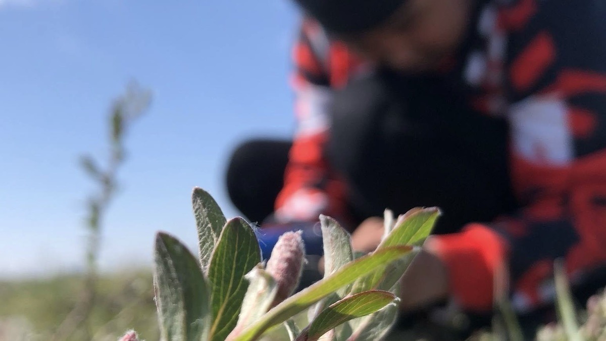
Why should we worry about soil chemistry and sediment? Because in Melgund Township and the surrounding areas, we live off this land. Many of us fish in Mennin Lake or hunt in the valleys that drain into it. If the baseline data is missing or inaccurate now, and we notice changes in the fish or water quality ten years from now, the proponent could argue, “It was always like that.”
Without a precise, sensitive, and comprehensive baseline, we lose the ability to hold the project accountable for future environmental changes. We need to know exactly what is in the mud at the bottom of our creeks before a single shovel hits the ground.
Have Your Say
This affects our future. Submit your feedback on this specific issue via our Engage page to ensure the Impact Assessment Agency hears from our community.
The Melgund Integrated Nuclear Impact Assessment Project
The Impact Assessment Agency of Canada (IAAC) is reviewing the Nuclear Waste Management Organization’s (NWMO) proposed Deep Geological Repository (DGR) at the Revell Site, located near Ignace and Wabigoon Lake Ojibway Nation in Northwestern Ontario.
This major nuclear infrastructure project is undergoing a joint federal review by the IAAC and the Canadian Nuclear Safety Commission (CNSC) to evaluate environmental, health, social, and Indigenous rights impacts over its projected 160-year lifecycle.
Public Feedback Open: Comments on the Initial Project Description are accepted until February 4, 2026. Submissions help shape the formal impact assessment guidelines.
This short article and summary is based on an initial analysis of a proponent’s initial project description. It does not represent, any community the NWMO or the Government of Canada. Learn more at the Melgund Integrated Nuclear Impact Assessment Project project page.